How Directional Drilling Works in Jackson Ground
The Yazoo: a ground with a reputation, and the honest answer to it
The Yazoo clay is the rare soil with name recognition: an Eocene marine formation of exceptional expansiveness underlying the capital and much of the metro, swelling and shrinking through deep moisture cycles that heave slabs, crack rigid pipes, and shape this region's entire construction culture. The drilling truth is more nuanced than the reputation: the formation cuts cleanly, holds a bore well, and seals tightly — demanding conservative fluid pressures — and its real threat is to what's placed, not to the placing. The engineering answer is the local trade's core doctrine: fused, flexible products at depths set below the active zone, transitions detailed where moving ground meets fixed structures, and design-life thinking on every line. HDD isn't just viable on the Yazoo; done right, it's the method the Yazoo can't beat.
The edges: loess, terraces, and the delta's doorstep
The metro isn't Yazoo wall to wall: terrace and loess-belt grounds ease the drilling along the western tiers — Clinton's ridges run the bluff-belt silts that gentle the program — Madison's north trades toward different Tertiary units, and Yazoo County's delta edge drops to the alluvial flats where the wet-ground program takes over entirely. The quote names the ground per reach, because central Mississippi's map rewards the contractor who knows where the famous clay actually ends.
The sequence, capital edition
The bones are standard — locates plus private designating, potholes on every claimed utility, pilot on profile, ream to about one and a half times the product, pull, restore. Capital bends: depths engineered against the active zone, fluid pressures run conservative in the sealed formation, rebuild-era street coordination carried downtown, flood-season awareness in the Pearl's world, and restoration that treats Belhaven's old streets, growth-arc lawns, and delta-edge headlands as the different surfaces they are.
Who owns what you're crossing
The cities run their own ROW counters; seven county departments cover the rural map; MDOT permits I-55, I-20, and the state spines. The flood-control district's works govern the Pearl's metro reaches; the reservoir's managing agency governs its shoreline world; state water-quality machinery rides the streams; wetland jurisdiction holds the bottomlands; railroads permit the capital's corridors; and the rebuild program runs its own coordination on the capital's water work. The quote names every owner on your alignment — here, the ground's reputation and the river's district are the two facts everything else follows.
Straight answers
Will you hit rock on my bore?
No — this metro's story is clay, not stone: the Yazoo and its neighboring formations run deep and rock-free, with sands interbedded and the delta edge trading to alluvium. The honest cautions are the famous ones — expansive behavior, sealed-formation pressures, active-zone depth judgment — and the quote prices exactly those.
How deep do bores run under Jackson streets?
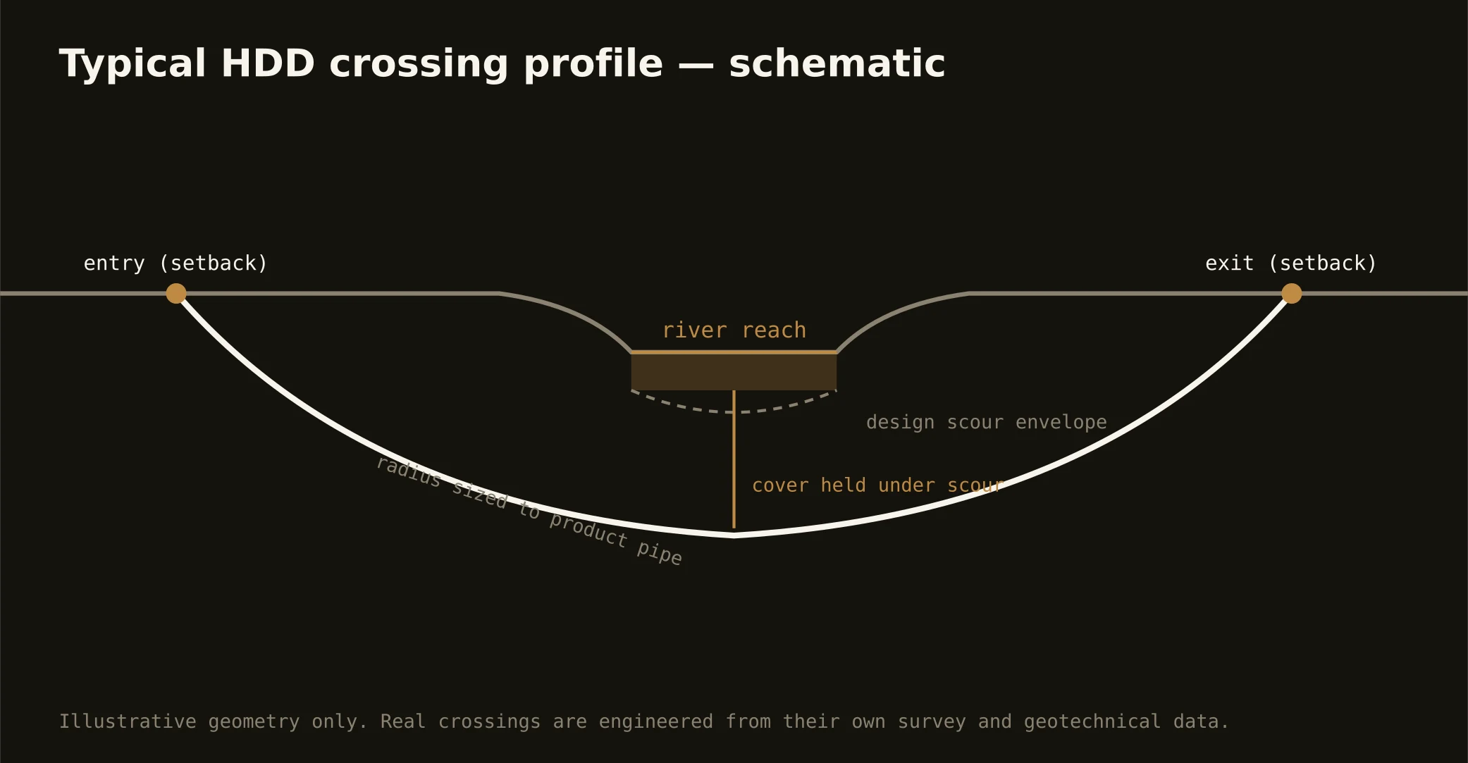
Cover follows the owning authority's standard and sits below everything potholed on the alignment — and in this metro, depth is also a design choice against the Yazoo's active zone, which typically argues for the deeper number. Pearl-corridor crossings run to the flood-control district's criteria, which govern absolutely. The plan states your number and its reasoning before mobilization.
How does the water-system rebuild affect ordinary projects?
It sets the capital's tempo: renewal segments, program coordination, and third-party oversight thread the city's streets, and smart projects schedule with that reality rather than against it. For our work it means documentation-grade submittals and coordination habits as standard — which is how a generational rebuild deserves to be served anyway.
Ready to put a number on a real crossing? Send the scope — a person prices it.